
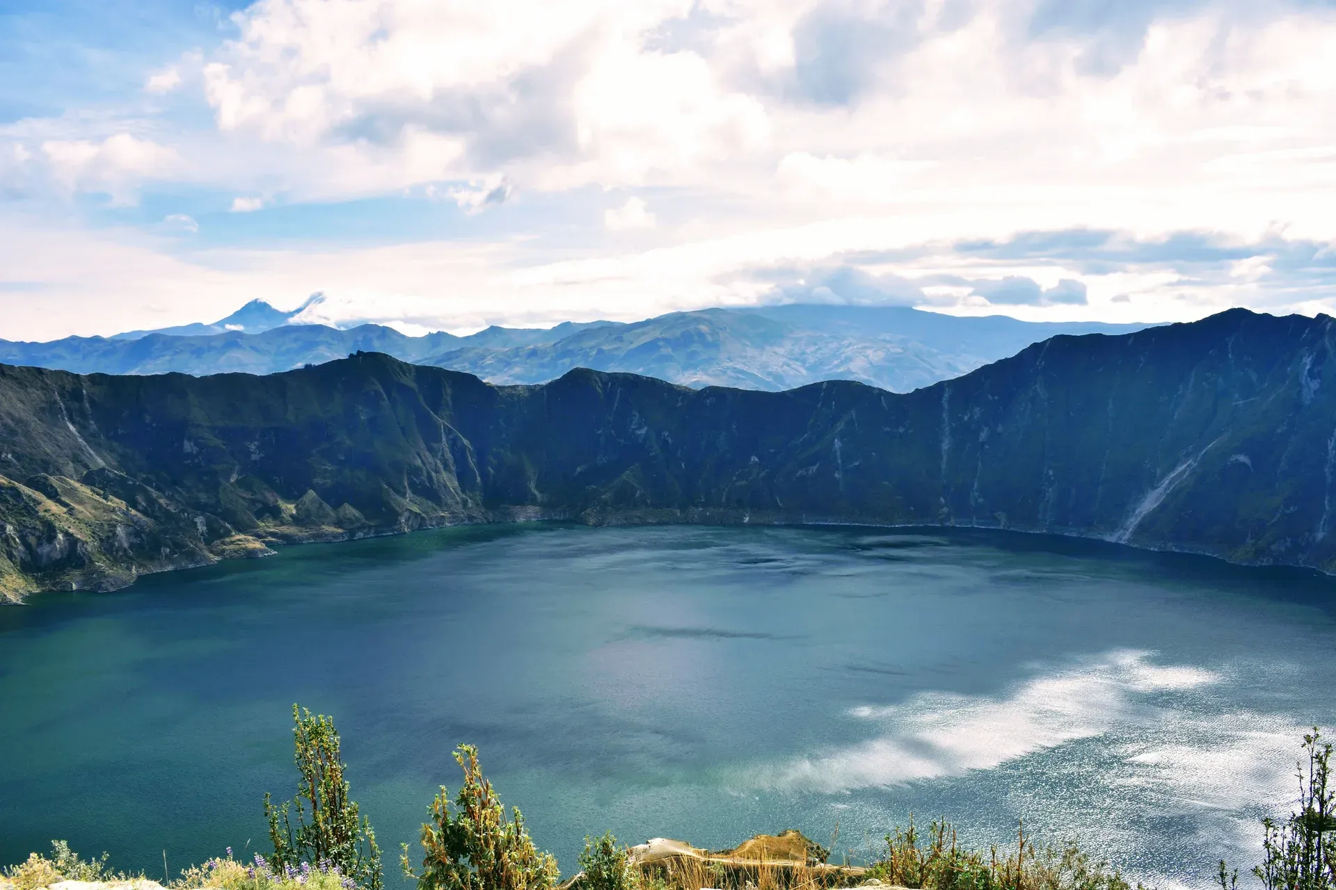
Formed by a massive eruption in 1280, this three-kilometer-wide caldera holds a 250-meter-deep lake that shifts between emerald green and turquoise. Hike the 10-kilometer crater rim at 3,914 meters above sea level to take in sweeping views of the surrounding Andean peaks.
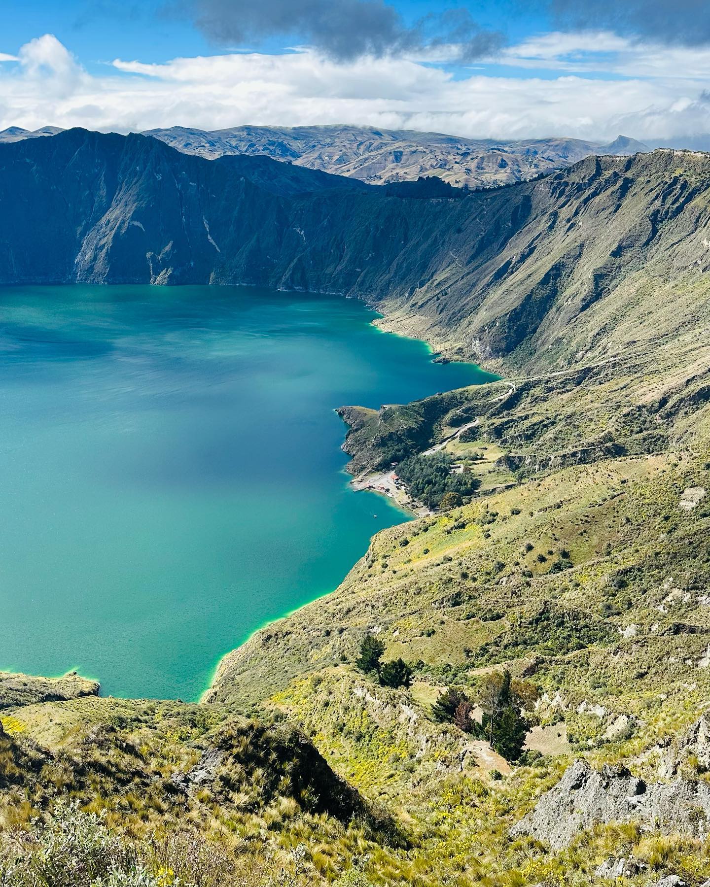
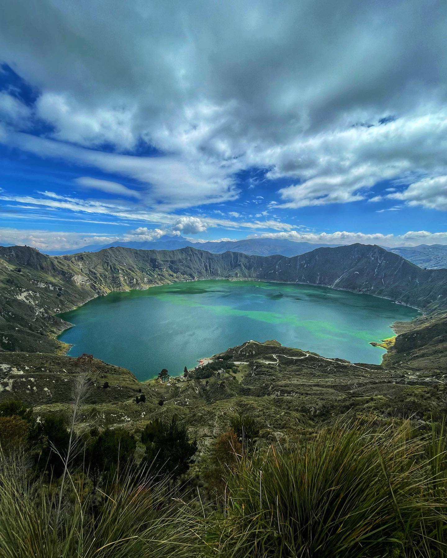
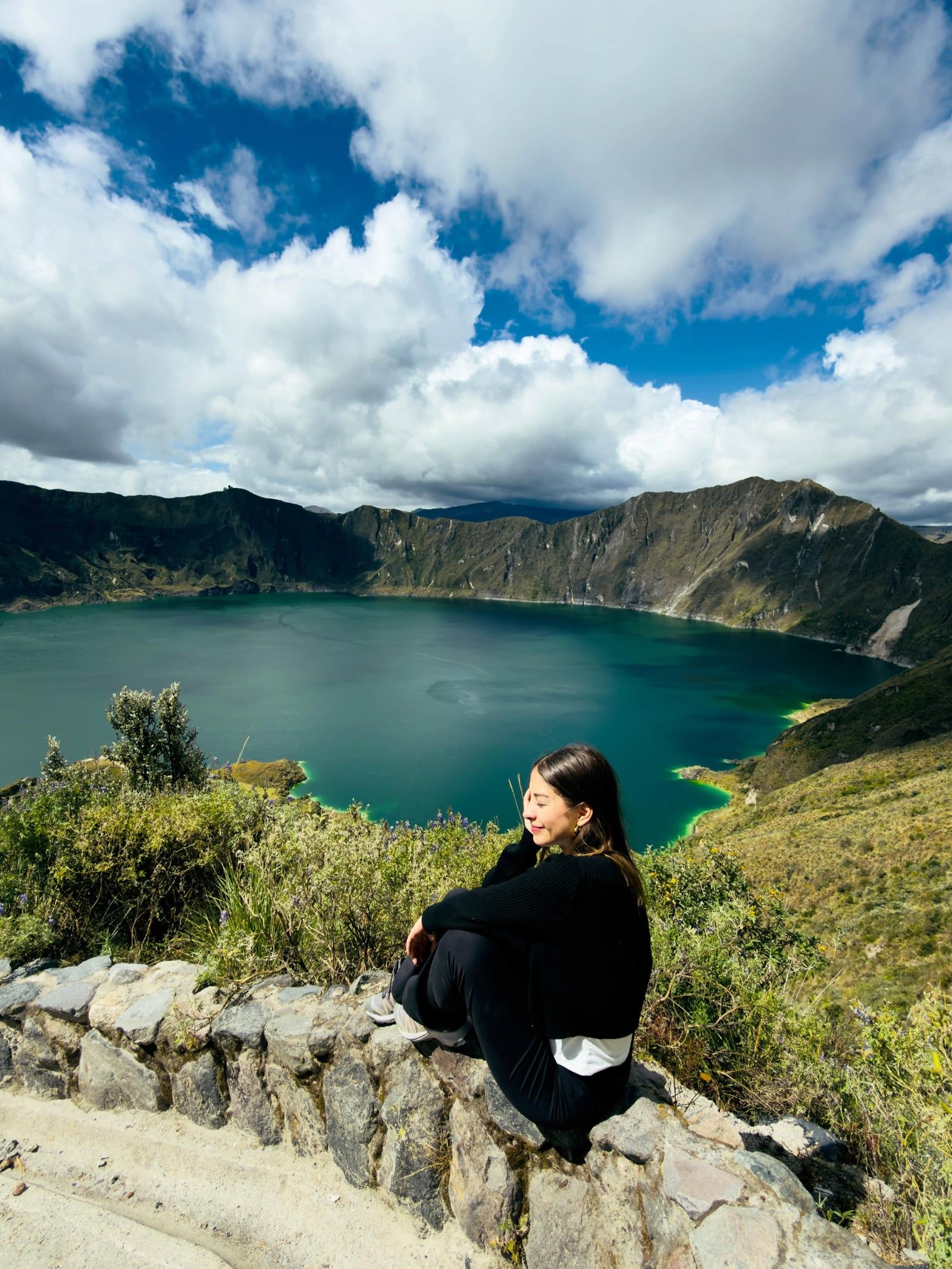
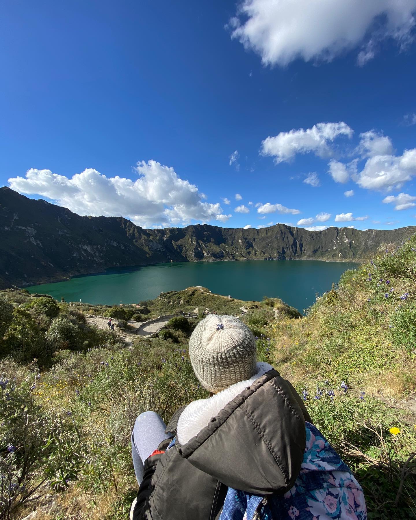
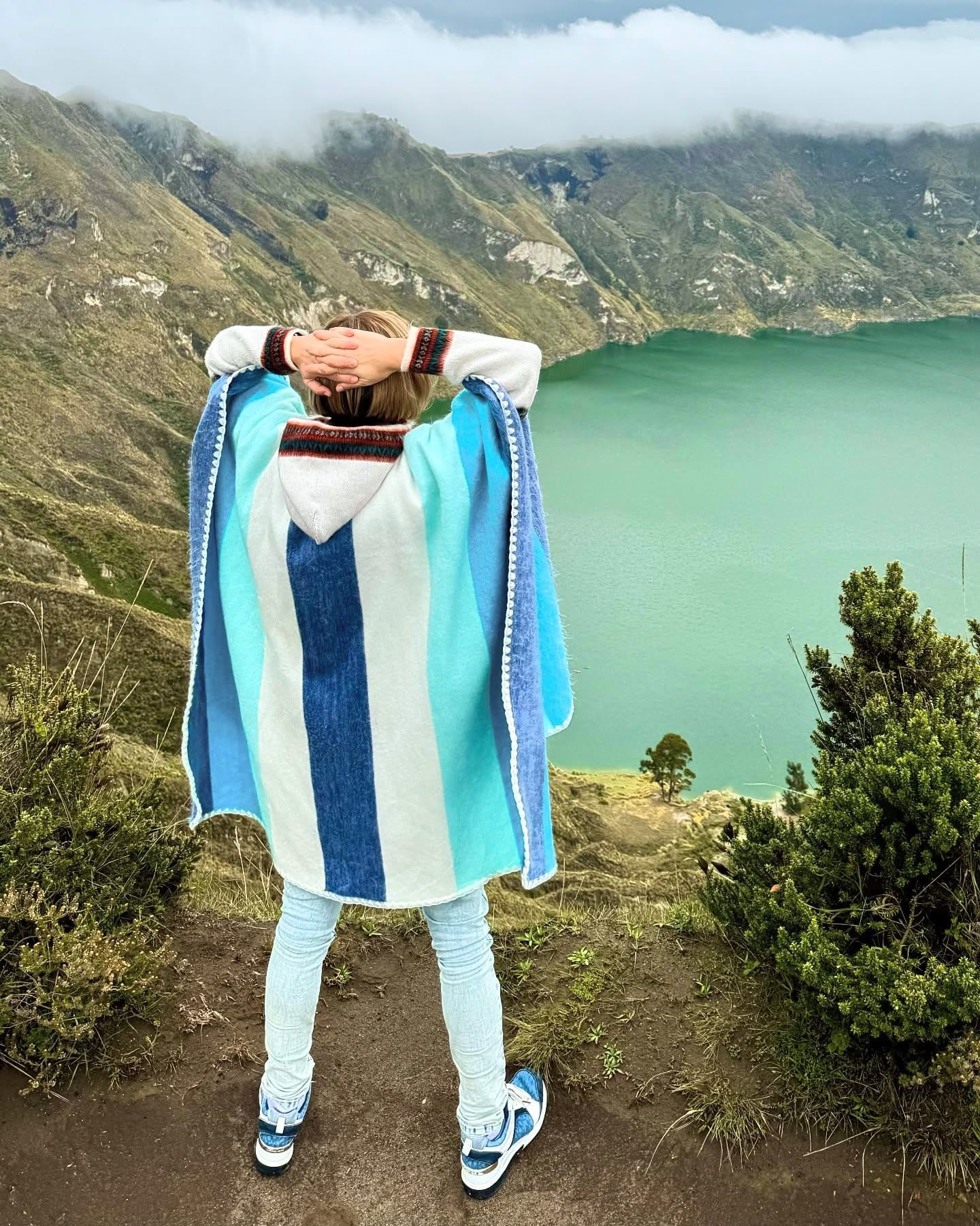
Find Guided ToursQuilotoa Lagoon is a massive water-filled volcanic crater located in the westernmost Andes of Ecuador, within the Cotopaxi Province. The caldera measures three kilometers in diameter and sits at a high elevation of 3,914 meters above sea level. Inside the crater, the shoreline rests 364 meters below the rim. The lake is known for its striking emerald-green and turquoise waters, which shift in color depending on the sunlight and the time of day.
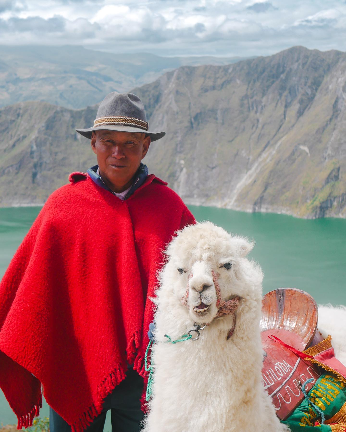
The landscape holds deep spiritual significance for the local indigenous Kichwa-speaking communities of Pujilí and Sigchos. They consider the lagoon a sacred place where gods reside, and residents perform traditional rituals and offerings to honor the spirits of the lake and surrounding mountains. Ecologically, the site is protected as part of the Reserva Ecológica Los Illinizas, preserving its high-altitude Andean páramo environment.
The geological history of the volcano spans at least 266,000 years of active magmatic processes. The current caldera was created approximately 800 years ago during a catastrophic VEI-6 Plinian eruption in the year 1280. This massive explosion ended a 14,000-year period of dormancy and completely collapsed the dacite volcano's dome.
The sheer force of the 1280 eruption sent pyroclastic flows and lahars traveling 200 kilometers to the Pacific Ocean while spreading ash across the northern Andes. Over the centuries, water accumulated in the collapsed crater to form the modern lake, which reaches depths of up to 250 meters. Today, the volcano remains dormant, though active fumaroles on the lake floor and hot springs bubbling on the eastern shore indicate ongoing geothermal activity below the surface.
Discover the full history and cultural significance on our About page.
Step onto a transparent structure suspended 3,900 meters above sea level at the Shalalá Viewpoint. This glass platform provides an unobstructed look at the entire three-kilometer-wide caldera. Standing here helps you grasp the immense scale of the crater and its emerald-green waters far below.
Walking the complete circumference of the caldera is a challenging five-hour hike of intermediate difficulty. The trail continuously shifts your perspective of the lake's changing colors. On clear days, the path also reveals distant views of the snow-capped Cotopaxi and Illiniza peaks.
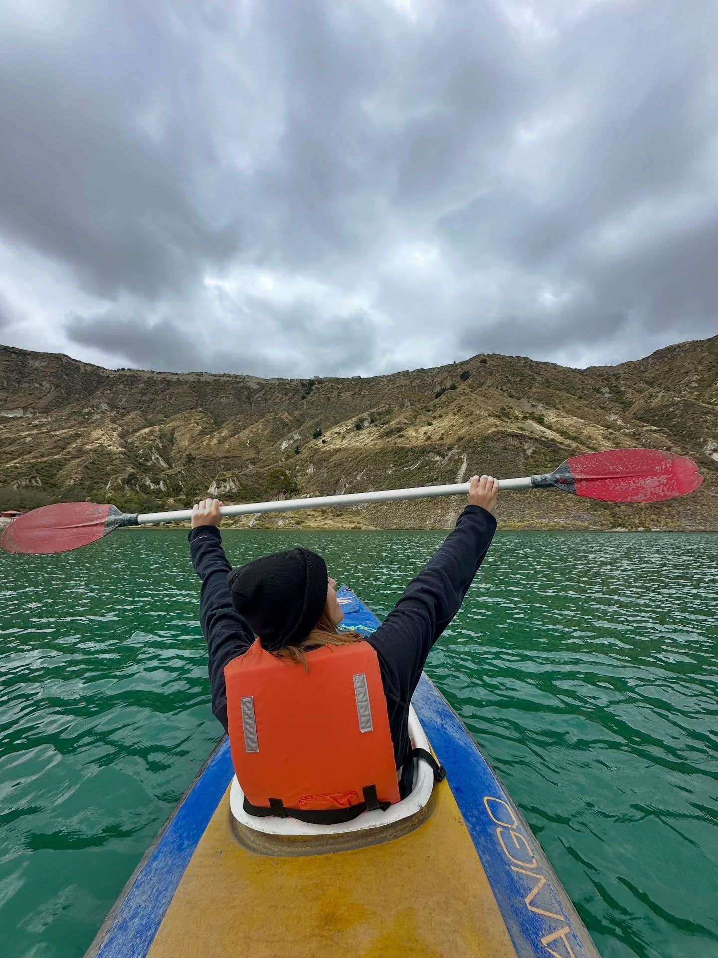
Rent a kayak to paddle the cold, mineral-rich turquoise waters at the very bottom of the crater. Sitting on the 250-meter-deep lake allows you to look up at the towering caldera walls rising hundreds of meters above, providing a stark contrast to the rim viewpoints.
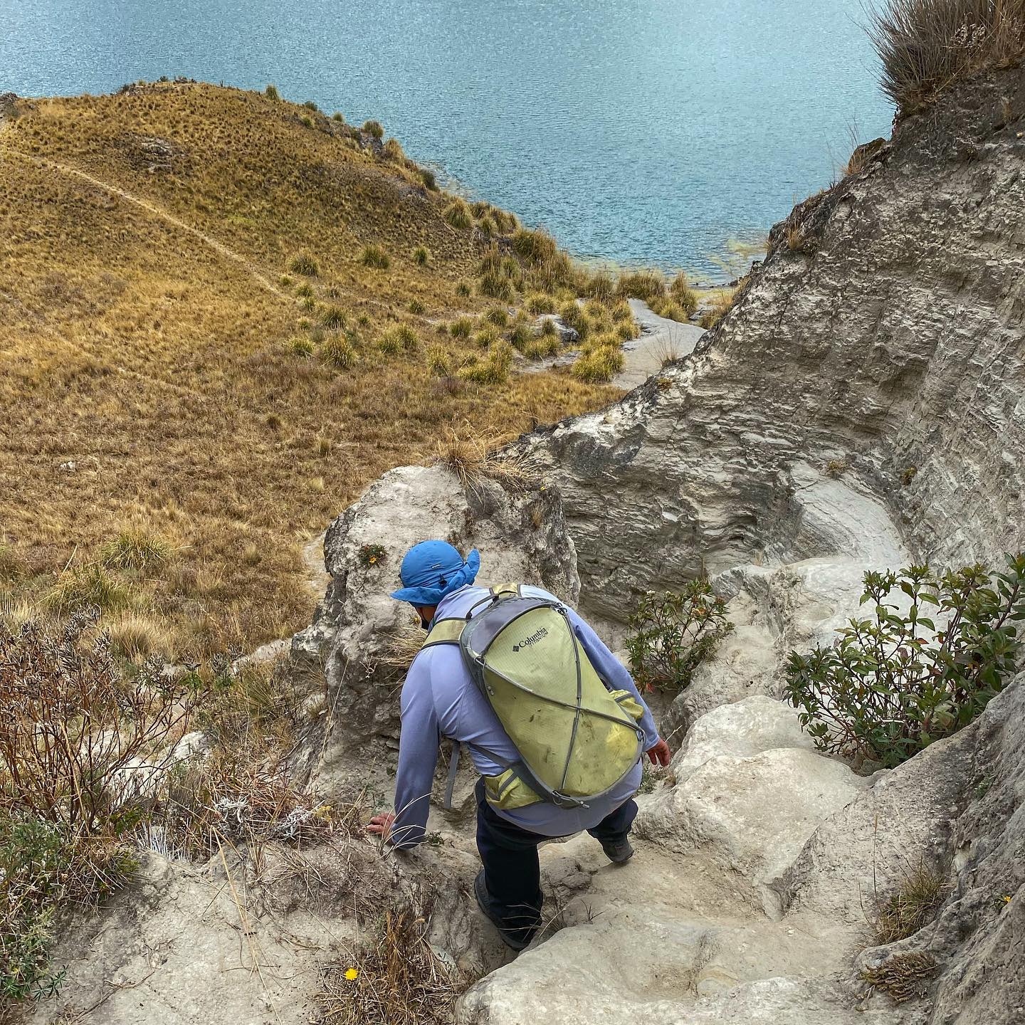
The steep 1.4-kilometer trail takes 30 to 45 minutes to walk down through sandy volcanic soil. After exploring the rugged shoreline, you can hire a mule for $10 to handle the grueling 45-to-90-minute uphill climb back to the 3,914-meter crater rim.
Hand-picked tours with free cancellation and verified reviews
 Free Cancellation 11h
  Free Cancellation
  Free Cancellation 72h
  Free Cancellation 10h
  Free Cancellation 8h
  Free Cancellation
  Free Cancellation 8h
  Free Cancellation 24h
 The ideal time to visit Quilotoa Lagoon is during the drier season from June through September, along with a short dry spell in December and early January. These months provide stable weather, clearer skies for photography, and safer conditions on the steep 1.4-kilometer descent trail.
These wetter months bring heavy cloud cover that often obscures the 3-kilometer-wide crater lake. Hikers face muddy, slippery conditions on the steep trails, making the descent significantly more difficult.
Falling within the primary dry season, these months offer stable weather and clear skies. The dry, firm trails provide safer conditions for the 1.4-kilometer hike down to the lagoon.
September provides excellent dry conditions, but October and November shift into the wetter season. Late autumn visitors will encounter increasing cloud cover, muddy paths, and reduced visibility of the lake.
A brief dry spell occurs in December and early January, yielding clear views. However, late winter becomes wetter, and holidays like Christmas cause heavily booked accommodations and crowded viewpoints.
The Quilotoa Community and surrounding reserve areas operate Monday through Sunday, 365 days a year. Check-in is permitted from 8:00 a.m. to 4:00 p.m. All visitors must check out by 5:00 p.m.
| Category | Price |
|---|---|
| Lagoon and crater admission | Free |
| Community entry fee (Adult) | $2.00 |
| Community entry fee (Child and Senior) | $1.00 |
| Vehicle entry | $2.00 |
No prior permit is required to visit, though visitors must register upon entering the Ilinizas Ecological Reserve. The mandatory community fee covers village access, parking, and restroom use. Bring small denominations of physical cash to pay this fee, as the village has no ATMs.
For complete schedules and ticket prices, visit our Hours & Fees page.
Quilotoa Lagoon is located 178 kilometers southwest of Quito. Travelers can reach the crater by utilizing public bus routes through Latacunga or by arranging a direct private transfer from the capital.
📍 Quilotoa village, Pujilí Canton, Cotopaxi Province, Ecuador
Buses depart from the Latacunga Terminal directly to the Quilotoa hamlet along an asphalted road. The route covers 63 kilometers to Zumbahua, followed by an additional 14 kilometers to the crater. Morning departures are scheduled at 06:00, 07:30, 08:00, 10:00, and 11:00. The final return bus leaves the community at 17:00.
Travelers starting in the capital must first take a public bus from the Quitumbe Terminal in south Quito. This initial leg goes to Latacunga and takes roughly 1.5 hours. Upon arriving in Latacunga, passengers must transfer to a second bus heading toward Quilotoa or Zumbahua. The total journey covers a distance of 178 kilometers.
Private transfers offer a direct route from Quito via the South Pan-American Highway and the Pujilí-La Maná road. This service accommodates up to four passengers for a hassle-free ride straight to the crater rim. Visitors can easily coordinate these vehicles directly through their accommodations along the Quilotoa Loop. The entire drive covers 178 kilometers.
For detailed transport options and routes, visit our Directions page.
The crater rim sits at a high elevation of 3,914 meters, making altitude sickness a serious risk. Spend a few days acclimatizing in Quito or Latacunga before attempting the descent. If the 45-to-90-minute uphill return climb proves too strenuous, you can rent a mule for approximately $10.
You will need physical cash to pay the $2.00 community entry fee, rent mules, or buy food. Quilotoa village has no ATMs, and most local shops and accommodations do not accept credit cards. Make sure to withdraw enough money in Latacunga before taking the bus.
Weather at the crater changes rapidly from sunny to freezing and windy. Bring a windproof coat, gloves, and a wool hat to protect yourself from sudden temperature drops. Additionally, wear sturdy hiking boots to safely navigate the steep, sandy 1.4-kilometer trail down to the lake.
Begin your descent early in the morning to secure the clearest views and avoid heavy afternoon cloud cover. The lake's signature emerald-green and turquoise colors are most striking when the sun is directly overhead before midday. Plan your visit between June and September for the most stable weather.
Capturing the entire 3-kilometer-wide caldera in a single photograph requires a wide-angle camera lens. Standard frames simply cannot fit the massive scale of the crater from the viewpoints. Remember that drones and tripods are strictly prohibited within the Ilinizas Ecological Reserve.
Swimming in the lagoon is completely prohibited due to freezing temperatures, toxic volcanic minerals, and a sudden 250-meter depth drop. There is no rescue assistance on site. Furthermore, bringing domestic pets into the protected reserve is illegal and can subject owners to penalties.
Tigua is recognized for its highly talented local artists who create paintings on sheep hides and carve pine wood masks. Travelers can stop at small galleries to purchase these crafts and observe traditional Andean farming life.
This traditional Saturday market provides an authentic look into the daily lives and trading practices of the local indigenous Kichwa people. It is an excellent place to see regional agricultural products, textiles, and traditional Andean clothing.
Serving as a key stop on the multi-day Quilotoa Loop trek, this tiny mountain town offers unique agricultural experiences. Travelers can visit a local wood carving workshop, tour a cheese factory, or participate in cow milking.
Read what travelers share about their experience visiting Quilotoa Lagoon — from practical tips to personal highlights.
Admission to the lagoon and crater is free, but the Quilotoa Community charges a mandatory $2.00 entry fee per person, or $1.00 for children and seniors. This fee covers access to the village, parking, and restroom facilities.
The community and reserve areas are open 365 days a year. Visitor check-in hours run from 8:00 a.m. to 4:00 p.m., and the final check-out time is 5:00 p.m.
Travelers can take a 1.5-hour public bus from Quito's Quitumbe Terminal to Latacunga for $2.50, followed by a second bus to Quilotoa for an additional $2.00. For a faster option, private transfers from Quito take about three hours and cost $100.00 for up to four passengers.
Descending the steep 1.4-kilometer trail to the shore takes 30 to 45 minutes. The return hike takes 45 to 90 minutes due to the high altitude, though visitors can hire a mule for approximately $10 to ride back to the rim.
You need sturdy hiking boots to navigate the steep, sandy volcanic trails and warm layers like a windproof coat, gloves, and a hat to handle the cold winds. Bring physical cash in small denominations, as the village has no ATMs and local shops rarely accept credit cards.
Wheelchair access is available at the community entrance and the main paved viewing points overlooking the crater. The trails leading down into the crater itself are steep, sandy, and completely inaccessible for wheelchair users.
No prior permit or authorization is required to visit the lagoon. Visitors simply pay the community entry fee upon arrival and register when entering protected sections of the Ilinizas Ecological Reserve.
Swimming in the lagoon is strictly prohibited due to freezing water temperatures, toxic volcanic minerals, and a dangerous maximum depth of 250 meters. Pets are also illegal to bring into the lagoon area and the wider Ilinizas Ecological Reserve.
Browse verified tours with free cancellation and instant confirmation.
Find Tours